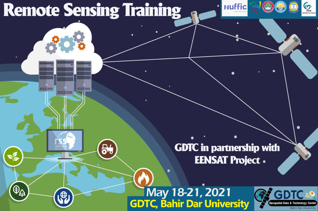
Tuesday 18 May 2021
Geospatial Data & Technology Center (GDTC) of Bahir Dar University in collaboration with Ethiopian Educational Network to Support Agricultural Transformation (EENSAT) project offered a 4-days long Remote Sensing training to Development Agents and Bahir Dar Poly Technic College staff.
The training is a training of trainers (ToT). Hence, the trainees are expected to transfer the skills & knowledge they acquire through the training to their colleagues. Development Agents from six woredas (Yilmana Densa, Sekela, Mecha, Ebinat, Libokemkem, and Fogera) participated in the training that took place from May18-21, 2021.
Topics the training covered include:
- Best experiences from the previous trainings
- Fundamentals of Remote Sensing
- Preprocessing techniques (Geometric correction, Image enhancement, Layerstacking, Mosaicing& sub setting)
- Image Analysis (Unsupervised & Supervised classification)
- Accuracy Assessment
- Project work
For further information, please visit the universities Facebook page (news item of 18 May 2021).
More recent news
 Tue 27 Apr 2021Successful Training of Trainer approach implemented at Bahir Dar TVET
 Thu 15 Apr 2021Tigray Bureau of Water Resources and Tigray Bureau of Health trained
 Thu 1 Apr 2021Development Agents trained at BDU on GIS for Natural Resource Management
 Thu 18 Mar 2021EENSAT features at MoSHE event
 Tue 9 Mar 2021BDU in partnership with EENSAT project is offering a Hands-on GIS & Surveying training